


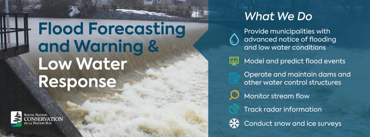
South Nation Conservation works with its partner municipalities along the South Nation, St. Lawrence and Ottawa Rivers to provide advanced notice of flooding and low water conditions through the provincial Flood Forecasting and Warning and Low Water Response programs.
MAPPED ROAD CLOSURES, FLOODED AREAS AND SANDBAG LOCATIONS
VIEW WATER LEVELS IN SOUTH NATION WATERSHED
Current Watershed Conditions, Flood, and Drought Messages:
The South Nation Conservation Water Response Team has maintained the Level 3 Low Water Condition across the SNC jurisdiction.
Level 3 conditions indicate that water supply no longer meets demand in certain regions and ongoing drought conditions are putting increased pressure on surface and/or groundwater supplies. Under this advisory, all water users are asked to reduce water use and suspend non-essential water uses until natural supplies begin to recover.
The Level 3 condition was announced in late August following persistent hot and dry weather during July and August. Dry conditions continued through September, leading to several impacts across the region, including dried-up rivers and streams, poor water quality caused by stagnant water, and reduced groundwater levels affecting people who rely on private wells.
Current Conditions :
Although rainfall returned to more normal levels in October and November and has helped ease some dry conditions, the earlier water deficit was severe. Many residents are still experiencing impacts. Stream flows in many creeks and rivers have improved, but several remain lower than normal for this time of year. Groundwater resources take longer to recover, and impacts are still being observed across the jurisdiction.
Low water conditions are determined using precipitation and streamflow indicators under the province-wide Ontario Low Water Response Program.
- Level 1 (Minor): Early signs of a potential water supply problem.
- Level 2 (Moderate): A potentially serious water supply problem.
- Level 3 (Severe): Water supply is no longer able to meet demand.
Because residents on private wells continue to experience problems, the South Nation Conservation Water Response Team is extending the Level 3 Low Water Condition across the jurisdiction.
Recommended Actions:
All water users, including municipalities, residents, businesses, and farmers, are being asked to reduce water use, including the suspension of all outdoor non-essential water use.
If you hold a Permit to Take Water, reduce your water takings as much as possible. During low flow conditions, surface water takings can significantly impact water availability.
Residents should check their municipality’s website for current water use restrictions and fire bans.
Residents on Private Wells:
If you use a private groundwater well, please use water carefully to help protect the underground water supply (aquifer) your well depends on.
- If your well water supply is low or has run dry, you are encouraged to review the Ontario Government’s “Managing your well in times of drought” guide: Managing your water well in times of water shortage | ontario.ca
- Never put water down a well — this can damage the well and contaminate groundwater.
- Contact licensed contractors to complete work on wells: ontario.ca/licenced-well-contractors.
- Bulk water haulage services provide water and storage tank rentals.
- To help us track low water impacts across the region, we’re asking residents to report any concerns using our quick online form: Help Us Track Drought Impacts in Your Area
Residents serviced by the Ottawa River and St. Lawrence River are not subject to the same water supply pressures and do not need to suspend outdoor water uses. However, conservation measures are still strongly encouraged to reduce overall demand.
Duration:
This Level 3 Low Water Advisory will remain in effect until further notice.
Next Steps:
South Nation Conservation will continue to monitor rainfall, stream flows, and water levels across the region. Updates will be shared as conditions change.
South Nation Conservation Contact:
Kat Watson, Coordinator, Early Warning Systems and Watershed Plans
kwatson@nation.on.ca | 1-877-984-2948
— end —
Flood Forecasting and Warning 2025 Summary:
Past Statements:
-
2017 Watershed Conditions and Flood Messages
-
2018 Watershed Conditions and Flood Messages
-
2019 Watershed Conditions and Flood Messages
-
2020 Watershed Conditions and Flood Messages
-
2021 Watershed Conditions and Flood Messages
-
2022 Watershed Conditions and Flood Messages
-
2023 Watershed Conditions and Flood Messages
-
2024 Watershed Conditions and Flood Messages