Conservation Authorities: Protecting People and Property
South Nation Conservation (SNC) updates floodplain and erosion maps (or natural hazard maps) on behalf of its partner municipalities when requested, specifically in areas facing increased development pressures.
Natural hazard maps are used by municipalities and SNC when updating Official Plans and zoning schedules, and in reviewing development applications to protect people and property from natural hazards and guide sustainable development activities.
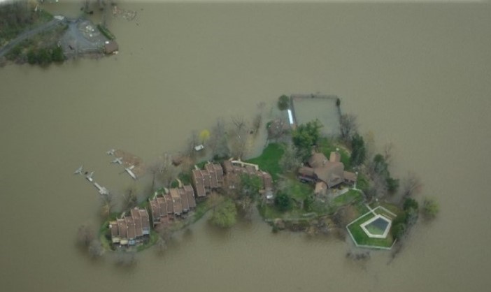
Regulation areas included on draft maps include the greatest of whichever natural hazard is present: floodplain or riverine erosion. It's important to speak with the Conservation Authority when considering developing in these areas to determine what type of hazard or constraint may exist.
Development projects within natural hazard areas (like floodplains) require permission from the Conservation Authority before proceeding. Please visit SNC's Regulations Webpage to learn more about regulations made under Section 28 of the Conservation Authorities Act, (Ontario Regulation 170/06 Regulation of Development, Interference with Wetlands and Alteration to Shorelines and Watercourses).
Public Consultations
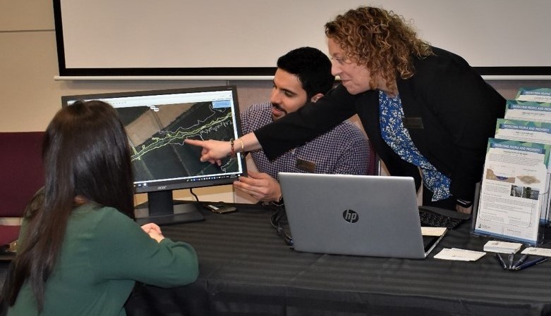
When updating natural hazard maps after completing a comprehensive study, Conservation Authorities will invite affected property owners to review draft maps and provide any comments during public consultations.
Consultations help update Regulation Areas where permission (through a permit) may be required for certain construction or shoreline development activities. Please note that these consultations do not replace any municipal requirements or public notices to update policies or zoning schedules.
Consultation dates are regularly posted on SNC's website calendar, upcoming details can be found below.
Public Consultation on Natural Hazard Mapping: Ottawa River
SNC will be hosting a public information session for residents to learn more about new floodplain and erosion hazard maps for areas along the Ottawa River, east of Ottawa, within SNC's jurisdiction.
Please join us at the Open House:
Wednesday, March 29th, 2023
6PM to 8PM
Lucien-Delorme Community Centre
5000 rue due Centre, Wendover, Ontario K0A 3K0
Please note that this study area is already regulated by the Conservation Authority and the previously mapped floodplain is already contained in municipal zoning.
This project has updated the old study maps from the 1980s using state-of-the-art digital topographic information, water resource modelling and field surveys to better understand the flow of water and the location of floodplains during various storm events.
I missed the Open House. Can I still ask a question?
Affected residents who wish to learn more following the information session may schedule a private meeting with SNC staff, either online or in-person at SNC's office in Finch. Meetings weekdays and evenings between April 3rd and April 14th.
To schedule your meeting, please call 1-877-984-2948 or email info@nation.on.ca.
Maps
Final natural hazard mapping reports are added to the Reports section of SNC's website, and updated maps are added to SNC's public Geoportal. Note: the maps of the Ottawa River are not yet approved by SNC's Board of Directors and remain in draft form until after the public consultation period.
Please note that the "Regulation Area" is displayed on draft mapping. This area includes the greatest of either hazard: 1:100 year floodplain or riverine erosion hazard, plus a buffer. Examples will be shared during consultation meetings.
Access the draft maps here: Draft Conservation Authority Natural Hazard Regulation Limit
Looking for information for a specific property?
Click here to access the Interactive Property Map.
This webmap allows residents to enter their address to view where the former and updated regulations limits and floodplain and erosion hazards are present.
Press Release
Letter to Residents
Invitation to Ottawa River Shoreline Residents in the Study Area
Additional Resources
Understanding flood messages and preparing your family and property for a potential flood is the best defence. SNC has prepared resources to provide guidance to property owners before and after a flood event. Flooding can create problems in and around your home; take a moment to become familiar with these resources. Stay up to date with your municipality during emergency response.
Factsheets:
- What is a Floodplain?
- Permitting in Protected Areas
- Preparing for Flood Events
- After the Flood; Your Septic System
- After the Flood; Your Well
- Cleaning Up After the Flood