
Managing flood risks in the City of Ottawa
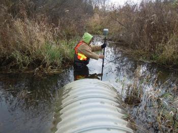
SNC mitigates property damages and public safety risks by mapping lands that flood. SNC is entering a five-year plan to update flood risk mapping in the City of Ottawa. Staff are surveying watercourses with existing and future development pressures along Greys Creek McCooye Creek, and the Cassidy Municipal drain in Osgoode Ward. We gather elevation data, bridge measurements, and previous flood damage to build a computer model that calculates flows during floods. Ottawa and SNC use this information to ensure that new development is not located in areas with identified flood and erosion risks.