
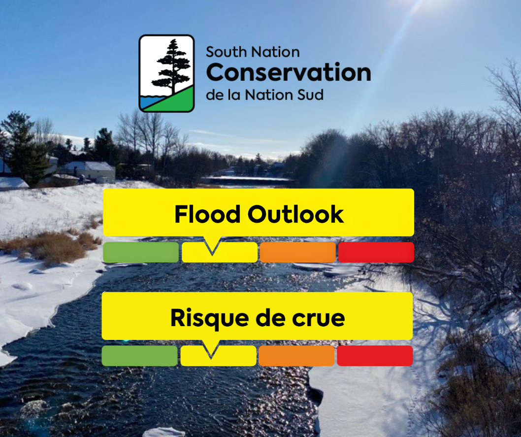
WATERSHED CONDITIONS: FLOOD OUTLOOK
SNC advises that warmer temperatures and forecasted rain will mark the beginning of the spring freshet which will result in quickly rising river water levels and unsafe conditions.
Weather Forecast: Environment Canada (ECCC) is forecasting sustained above-zero temperatures starting March 6th. Daytime temperatures are expected to reach up to 15oC in some areas leading to snow melt. Warmer temperatures will likely be accompanied by rainfall, with total rainfall amounts approaching up to 25 mm by March 7th. ECCC’s extended forecast shows a continued warming period with the potential for an additional 50 to 80 mm from March 10th to 13th.
Environmental Conditions: Snowpack and snow water equivalent across the South Nation Conservation jurisdiction are slightly above normal for this time of year, while ice thickness on rivers across the jurisdiction are mostly below normal. River water levels are currently on the low side of the normal seasonal range, creating capacity in local river systems.
It is anticipated that by March 7th snow melt and rainfall will result in increased river water levels and fast flowing water. Considering today’s forecast, the SNC flood forecast model predicts that water levels will peak on March 13th, resulting in flooding of low-lying areas, floodplains, and areas with poor drainage. Widespread flooding is not anticipated at this time, however, this can quickly change depending on the amount and intensity of rainfall received.
Risks: Rivers across the jurisdiction will result in higher water levels, fast flowing water and slippery or unstable banks. Additionally, these conditions elevate the risk for ice breakup and ice jams at bridges, culverts and other areas producing localized flooding concerns in low lying areas.
ACTION: Residents are advised to exercise extreme caution when near rivers and waterbodies due to increasing river flows and slippery conditions. Any ice-covered bodies of water are considered unsafe. Parents are encouraged to explain these dangers to their children.
The timing and amount of rainfall received will determine the extent of flooding. Residents in flood prone or low-lying areas, historically susceptible to flooding, should take the necessary precautions to protect their property. Please ensure:
- Sump pump is clear, in good working condition and has a backwater valve on it.
- Easy access to portable backup generator and pump.
- Downspouts are clear and the outlet is at least 3 m from the dwelling.
- Driveway culverts are clear of debris and drain well.
- Securing items that might float away as flows increase.
Duration: This flood outlook statement is in effect until March 9th, 2026 at 5 PM or until an update has been issued.
SNC monitors the water levels and weather forecasts as part of the Flood Forecasting and Warning Program. Updates are provided as conditions change.
Please visit www.nation.on.ca for more information. To provide feedback with respect to changes
in water related conditions please email waterwatch@nation.on.ca, post on our Facebook (/SouthNationConservation) or Twitter (@SouthNationCA).
FOR MORE INFORMATION: Kat Watson, Coordinator, Early Warning Systems and Watershed Plans; 1-877-984-2948, kwatson@nation.on.ca.
Forwarded to: All Flood Forecasting and Warning Directory