
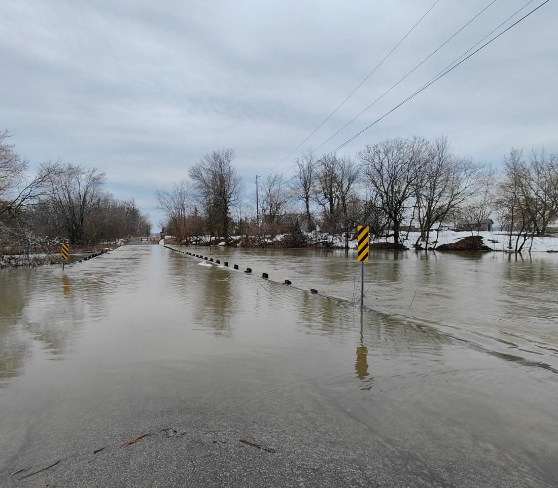
Flood Forecasting & Warning

Protecting people and property in the watershed from the effects of flooding, landslides and drought is SNC’s core business.
We collect data for weather information, river flows, snow pack, and ice conditions in order to predict when floods will occur
and how high the water may rise.
We issue the latest information on watershed conditions to the public, local emergency services and the media during drought and flood events.
Learn more about how to be prepared before and after a flood.
Worried about flooding? Follow our feed @SouthNationCA.
SNC maintains a flood warning system in the watershed to provide the latest information to municipalities, media, emergency response services, and the Ministry of Natural Resources and Forestry.
Our flood warning system is two-fold:
- To provide advance notice of flood conditions to member municipalities and the public, so that preparation measures can be taken to minimize the impact on people and property; and
- To provide on-going updates of flood forecasts and watershed conditions during a flood event.
Ontario’s 36 Conservation Authorities are mandated to provide this flood forecasting and warning service. SNC, in partnership with the Ministry of Natural Resources and Forestry, maintains a network of stream gauges, rain gauges and snow course sites in the watershed. This data is used to quantify the components of the hydrologic cycle. Monitoring can also include visual inspections of watercourses.
Click here to explore the Ministry of Natural Resources Ontario Flood Map. Learn more about current water levels and flows in the watershed here.
We perform a daily planning cycle to ensure that the flood potential can be identified in a timely manner. We use this analysis to predict the flood potential and issue the appropriate message. This includes an analysis of the following parameters:
- Daily calculation of the 7:00 a.m. flows;
- Daily check of forecasts for weather conditions, precipitation and temperatures; and
- Snow and ice survey data.
Understanding flood messages and preparing your family and property for a flood is the best defence. SNC has prepared resources to provide guidance to property owners before and after a flood event. Flooding can create problems in and around your home; take a moment to become familiar with these resources. Stay up to date with your municipality during emergency response.
Factsheet series includes:
-
- What is a Floodplain?This link opens in a new windowThis link opens in a new window
- Permitting in Protected AreasThis link opens in a new windowThis link opens in a new window
- Preparing for Flood EventsThis link opens in a new windowThis link opens in a new window
- After the Flood; Your Septic SystemThis link opens in a new windowThis link opens in a new window
- After the Flood; Your WellThis link opens in a new windowThis link opens in a new window
- Cleaning Up After the Flood
What do flood messages mean?
![]()
Normal: No flood conditions exist.
![]()
Water Safety: High flows, unsafe banks, melting ice or other factors that could be dangerous for recreational users such as anglers, canoeists, hikers, children, pets, etc. are present. Flooding is not expected.
![]()
Flood Outlook: Early notice of the potential for flooding based on weather forecasts calling for heavy rain, snow melt, high wind or other conditions that could lead to high runoff, cause ice jams, lakeshore flooding or erosion.
![]()
Flood Watch: Flooding is possible in specific watercourses or municipalities. Municipalities, emergency services and individual landowners in flood-prone areas should prepare.
![]()
Flood Warning: Flooding is imminent or already occurring in specific watercourses or municipalities