
Partnership with City of Ottawa highlights importance of floodplain mapping
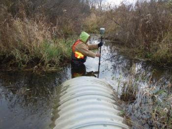
South Nation Conservation (SNC) in partnership with the City of Ottawa has been working on updating floodplain mapping since 2012. Floodplain mapping is updated using LIDAR technology and streams are prioritized based on age of mapping, as well as land use and future development. Mapping is an important tool that identifies environmental features such as flood hazard areas to help protect residents and their properties. The maps support development reviews, manage drainage features and are used by City Emergency Services in case of extreme weather events. Floodplain mapping is currently being developed for the Cassidy and McCooeye Municipal drains located in Metcalfe.
Floodplain mapping was recently highlighted in the Ottawa Citizen. Read this article here.